
KMUTT Geospatial Engineering and Innovation Center
King Mongkut's University of Technology Thonburi
126 Pracha Uthit Road, 10140 Bangkok
Copyright (c) 2008 Sitename.com. All rights reserved.

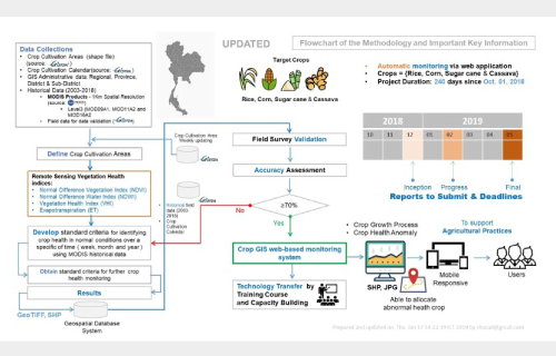
โครงการพัฒนาระบบประเมินความสมบูรณ์ของพืช (Crop Health Analysis)
Customer Geo-Informatics and Space Technology Development Agency การศึกษาจะทำการรวบรวมข้อมูลที่เกี่ยวข้อง ทั้งข้อมูลเชิงพื้นที่ และข้อมูลเชิงบรรยาย ประกอบด้วย ข้อมูลปริมาณฝน อุณหภูมิ พื้นที่ปลูกข้าวนาปี
Read more.
Mapping Regional Land Cover for Sustainable Rice Cultivation Using Geospatial Techniques and Satellite Data
Customer National Research Council of Thailand (NRCT) การศึกษาจะทำการรวบรวมข้อมูลที่เกี่ยวข้อง ทั้งข้อมูลเชิงพื้นที่ และข้อมูลเชิงบรรยาย ประกอบด้วย ข้อมูลปริมาณฝน อุณหภูมิ
Read more.
IoT: Sensor Web Enablement Air Quality Quantification System
Customer King Mongkut’s University of Technology Thonburi ศูนย์วิศวกรรมสารสนเทศภูมิศาสตร์และนวัตกรรม (KGEO) มีความสนใจสร้างระบบตรวจวัดคุณภาพอากาศ โดยใช้เทคโนโลยี Internet of Things
Read more.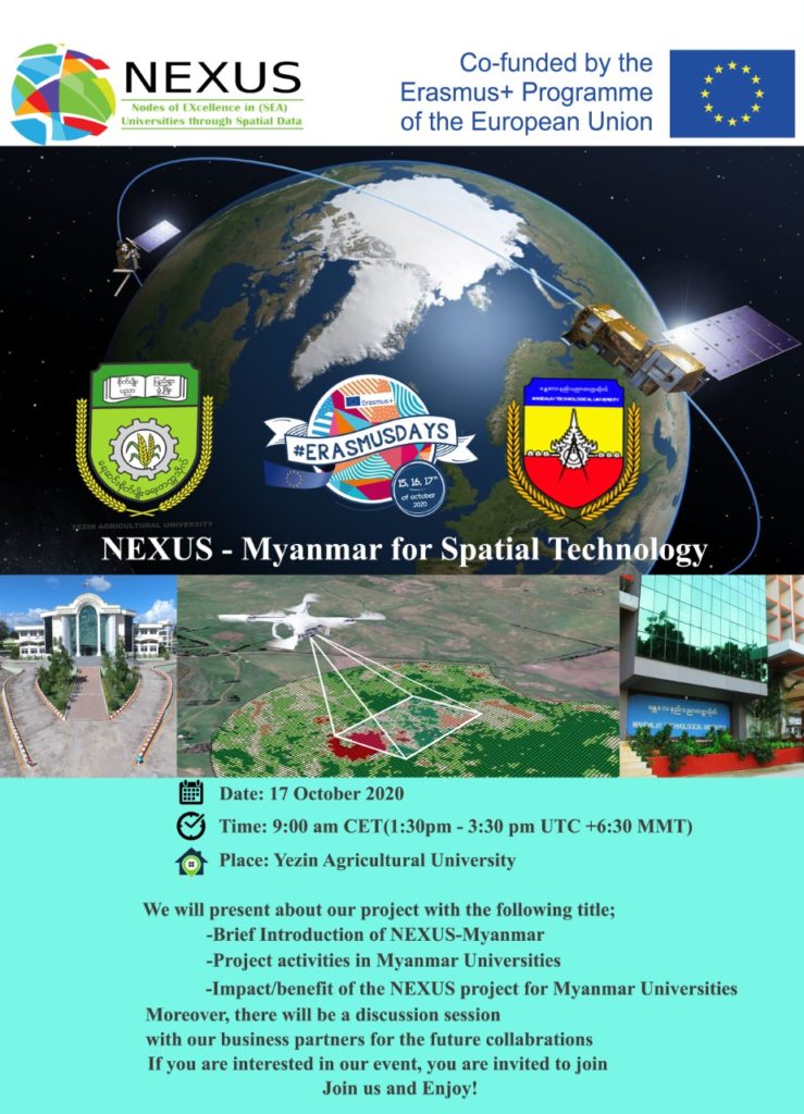
NEXUS – Myanmar For Spatial Technology
We Will present about our project with the following title ; Brief Introduction of
Read more.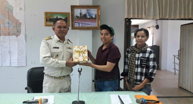
Applications of GIS Technology in Groundwater Management Workshop
Date: 14-16 January2019 Participant: 16 people Venue Local municipal, Kao Kam, Ubonratchathani GeoS4S Module: Digital Terrain
Read more.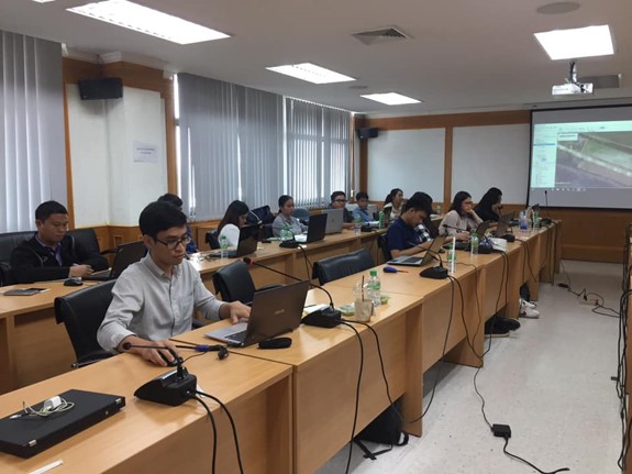
Application of GIS Technology in Database Management for Precision Agriculture Workshops
Date: 15 February 2019 Participant: 30 people Venue Rice Department, Thailand GeoS4S Module: Geospatial Analysis
Read more.