
KMUTT Geospatial Engineering and Innovation Center
King Mongkut's University of Technology Thonburi
126 Pracha Uthit Road, 10140 Bangkok
Copyright (c) 2008 Sitename.com. All rights reserved.

โครงการระบบแผนที่เพื่อติดตามสถานการณ์ของหน่วยดำเนินกลยุทธ์ทหารบกด้วยวิทยุสื่อสารทางทหาร
Customer Office of Higher Education Commission โครงการที่จะพัฒนาอุปกรณ์เชื่อมต่อเพื่อระบุพิกัดตำแหน่งเข้ากับวิทยุสื่อสารทหาร และการพัฒนาระบบสารสนเทศภูมิศาสตร์ (GIS) ที่สามารถรับข้อมูล จัดเก็บ ประมวลผล และแสดงผลข้อมูล ในการติดตามสถานการณ์ของหน่วยดำเนินกลยุทธ์ทหารบกด้วยวิทยุสื่อสารทางทหาร
Read more.
โครงการการออกแบบและพัฒนาเว็บไซด์รีวิวสินค้า
Customer National Science and Technology Development Agency : NSTDA โครงการการออกแบบและพัฒนาเว็บไซด์รีวิวสินค้า จัดทำขึ้นเพื่อให้บริการเจ้าของธุรกิจที่ต้องการศึกษาตลาดก่อนวางจำหน่างสินค้าของตน โดยเจ้าของสินค้าหรือธุรกิจสามารถจัดส่งสินค้าตัวอย่างให้แก่ลูกค้าและมีกาให้สิทธิพิเศษแก่ลูกค้าที่มารีวิวสินค้า ซึ่งเว็บไซต์นี้จะช่วยให้เจ้าของสิทค้าหรือธุรกิจสามารถประเมิณประสิทธิภาพสินค้าของตนในด้านต่างๆได้ เช่น
Read more.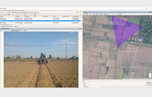
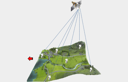
โครงการวิเคราะห์พื้นที่เพาะปลูกยาสูบในและนอกเขตสัญญาของโรงงานยาสูบรายปี จังหวัดสุโขทัยและเพชรบูรณ์
Customer Thailand Tobacco Monopoly การดำเนินงานโครงการนี้มีวัตถุประสงค์เพื่อ 1) นำเทคโนโลยีภูมิสารสนเทศมาประยุกต์ใช้ในการวิเคราะห์พื้นที่ในการเพาะปลูกยาสูบและเฮมพ์ทั้งในและนอกเขตพื้นที่สัญญาของทางโรงงานยาสูบ บริเวณจังหวัดสุโขทัยและเพชรบูรณ์ ให้มีความถูกต้องและจัดเก็บอย่างเป็นระบบ และ 2) เพื่อจัดทำระบบสารสนเทศภูมิศาสตร์เพื่อการบริหารพื้นที่ยาสูบในและนอกเขตพื้นที่สัญญาของทางโรงงานยาสูบเป้าหมาย ในการดำเนินงานจะใช้วิธีการวิเคราะห์จากข้อมูลภาพถ่ายดาวเทียมประกอบกับการลงพื้นที่เก็บข้อมูลพื้นที่ปลูกยาสูบในภาคสนาม และการจัดทำระบบบริหารจัดกรข้อมูลในลักษณะเว็บแอพลิเคชั่น
Read more.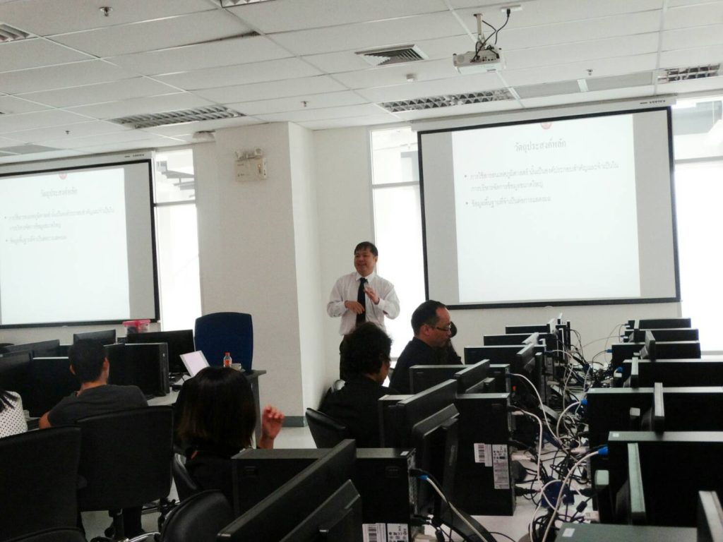
2nd GIS Health Workshop
Date: 1 March 2017 Participant: 50 people Venue Room FB306, FIBO Building, 3rd Floor
Read more.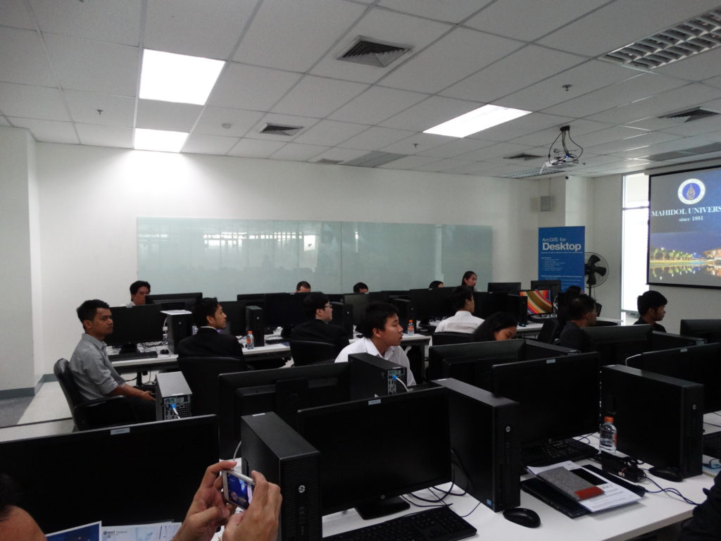
GIS Health Workshop
Date: 15 February 2017 Participant: 50 people Venue Room FB306, FIBO Building, 3rd Floor
Read more.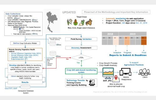
โครงการพัฒนาระบบประเมินความสมบูรณ์ของพืช (Crop Health Analysis)
Customer Geo-Informatics and Space Technology Development Agency การศึกษาจะทำการรวบรวมข้อมูลที่เกี่ยวข้อง ทั้งข้อมูลเชิงพื้นที่ และข้อมูลเชิงบรรยาย ประกอบด้วย ข้อมูลปริมาณฝน อุณหภูมิ พื้นที่ปลูกข้าวนาปี
Read more.